

North America Precipitation Forecast for the next 3 days
Precipitation in North America is shown on the maps below, updated automatically every 6 hours. Below you can follow precipitation (rain and snowfall areas) across the United States and nearby regions over the next 3 days, with a continental overview and regional maps arranged in a cleaner visual order.
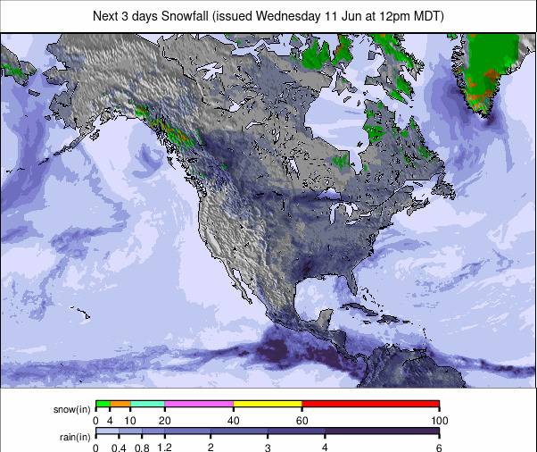
North America-Wide Precipitation Map
This map updates automatically every 6 hours and offers a fast overview of expected rain and snowfall across North America for the next 3 days.
 Zoom
Zoom
Click the image to enlarge it.
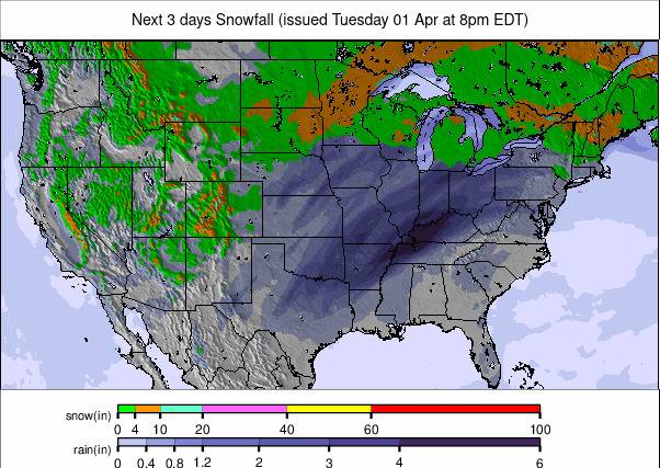
United States Precipitation Overview
This overview map focuses on the United States and gives a clearer view of the next 3 days across the country.
 Zoom
Zoom
Click the image to enlarge it.
Western USA and Pacific Regions precipitation
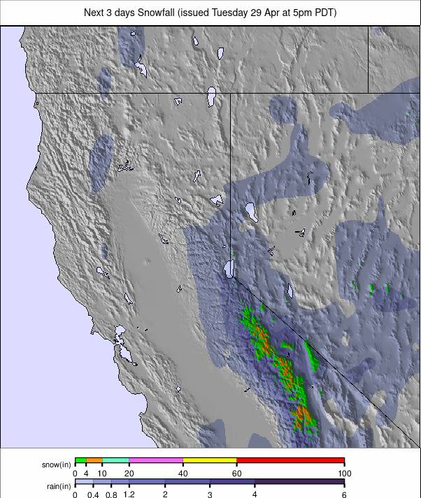
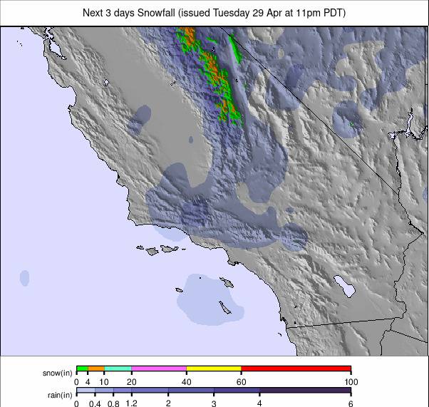
These maps cover the Pacific side of North America, including California, Oregon, Vancouver and nearby western areas.
North California – 3-Day Weather Map
 Zoom
Zoom
South California – 3-Day Weather Map
 Zoom
Zoom
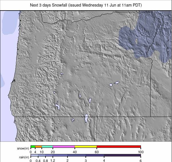
Oregon – 3-Day Weather Map
 Zoom
Zoom
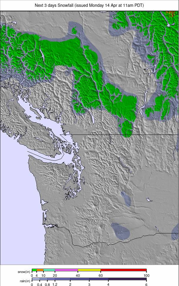
Vancouver – 3-Day Weather Map
 Zoom
Zoom
Mountains and Interior West precipitation
These maps highlight interior and mountain regions, including Colorado, Montana and western Canada.
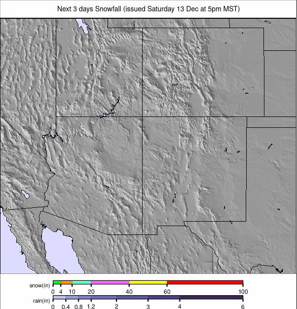
Colorado – 3-Day Weather Map
 Zoom
Zoom
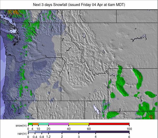
Montana – 3-Day Weather Map
 Zoom
Zoom
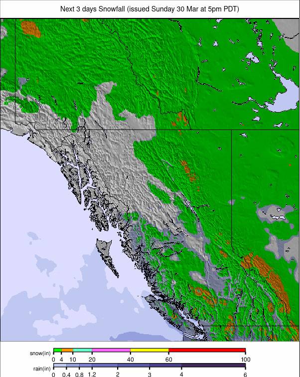
West Canada – 3-Day Weather Map
 Zoom
Zoom
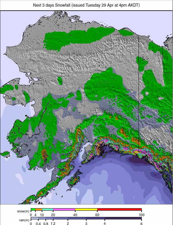
Alaska – 3-Day Weather Map
 Zoom
Zoom
Eastern USA and Great Lakes precipitation
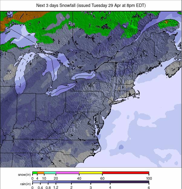
This regional map completes the layout with a closer look at the eastern mountain belt and Great Lakes area.
Appalachians and Great Lakes – 3-Day Weather Map
 Zoom
Zoom
Credit: snow-forecast.com
Important Weather Data Disclaimer
The user assumes the entire risk related to the use of this data.
www.stirimeteo.com is providing this data “as is”.
www.stirimeteo.com disclaims any and all warranties, whether express or implied, including without limitation any implied warranties of merchantability or fitness for a particular purpose.
In no event will stirimeteo.com be liable to you or to any third party for any direct, indirect, incidental, consequential, special, or exemplary damages or lost profit resulting from any use or misuse of this data.
